The European Environment Agency (EEA) has awarded an international consortium led by GAF AG with partners GeoVille, e-GEOS and Telespazio Ibérica, with the production of the updates of the CLC+ […]
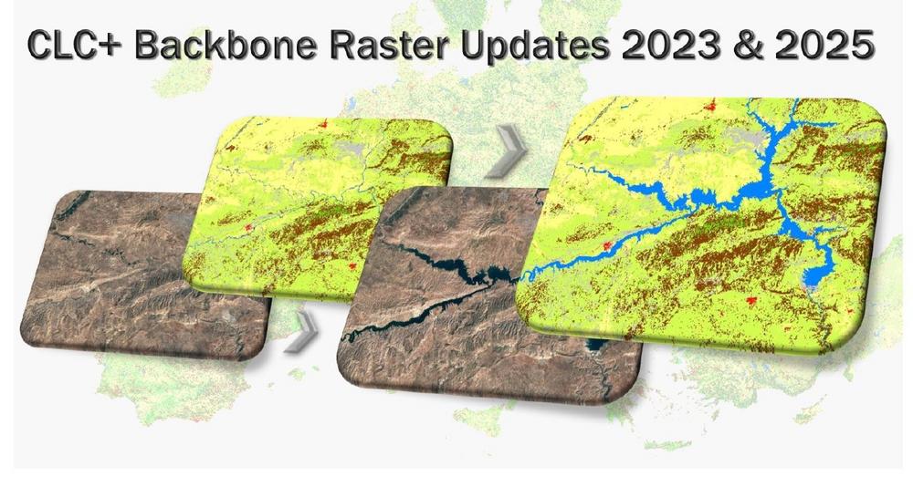

The European Environment Agency (EEA) has awarded an international consortium led by GAF AG with partners GeoVille, e-GEOS and Telespazio Ibérica, with the production of the updates of the CLC+ […]
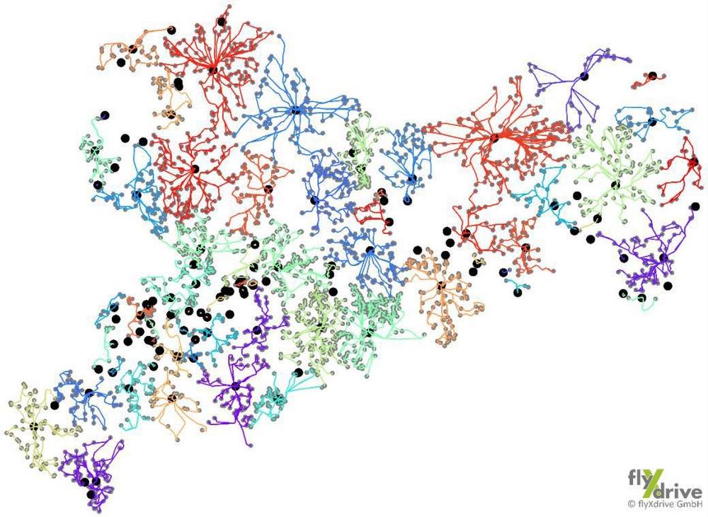
Einzigartige Kartierung landwirtschaftlicher Nutzflächen in Sachsen durch cloudbasierte KI-Lösung AgroCrop® der GAF AG zusammen mit den Drohnenexperten von flyXdrive GmbH im Rahmen der Gemeinsamen Agrarpolitik (GAP) der EU. Der GAF […]
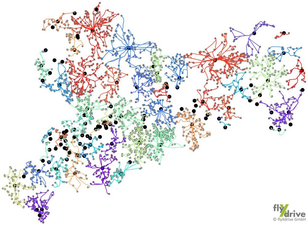
Unique mapping of agricultural land in Saxony using the cloud-based AI solution AgroCrop® from GAF AG together with the drone expertise of flyXdrive GmbH, as part of the EU‘s Common […]
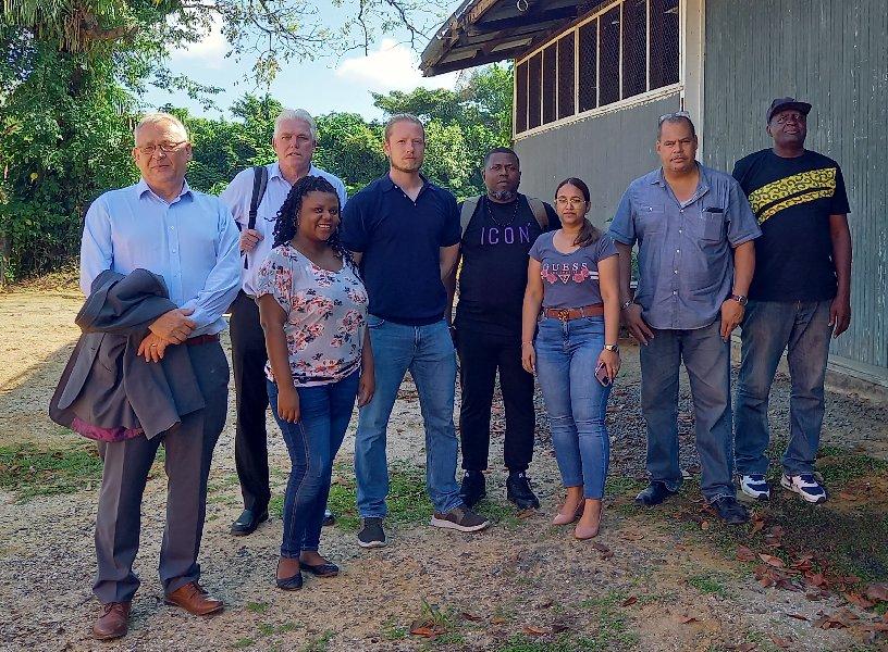
As part of the Suriname Competitiveness and Sector Diversification (SCSD) Programme being run by the World Bank, GAF AG, an e-GEOS (Telespazio/ASI) company, has been awarded the lead role in […]
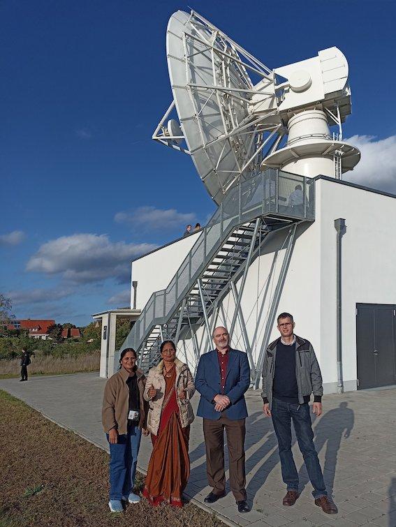
GAF AG and ESA have started a project to enable long term preservation of and public accessibility to the EO data archive of the Indian Remote Sensing satellites IRS-1C and […]

The European Commission has selected the Stantec team, featuring GAF AG as a partner, to support the EU knowledge hub dedicated to Science, Technology, and Innovation (STI), space and earth […]
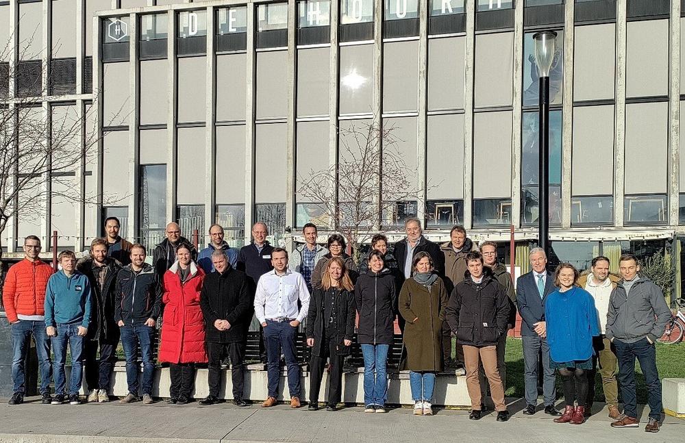
A consortium under the lead of VITO officially launched the new Horizon Europe project EvoLand (Evolution of the Copernicus Land Service portfolio) in Leuven (Belgium) on the 17th and 18th […]

The Nigeria Mining Cadastre Office (MCO) in Abuja officially launched its new Online Mining Cadastre System, based on GAF’s eMC+ framework, in November 2022 at the 6th Nigeria Mining Week, […]

Dr Gernot Ramminger, previously Chief Technical Officer, is taking over as Managing Director of GAF AG, a part of the e-GEOS/Telespazio corporate group. GAF has been a global leader in […]

ESA and GAF AG will continue to provide free-of-charge access to Digital Surface Models (DSMs), high-resolution (HR) and medium-resolution (MR) data for scientific users. In September 2022 they extended their […]