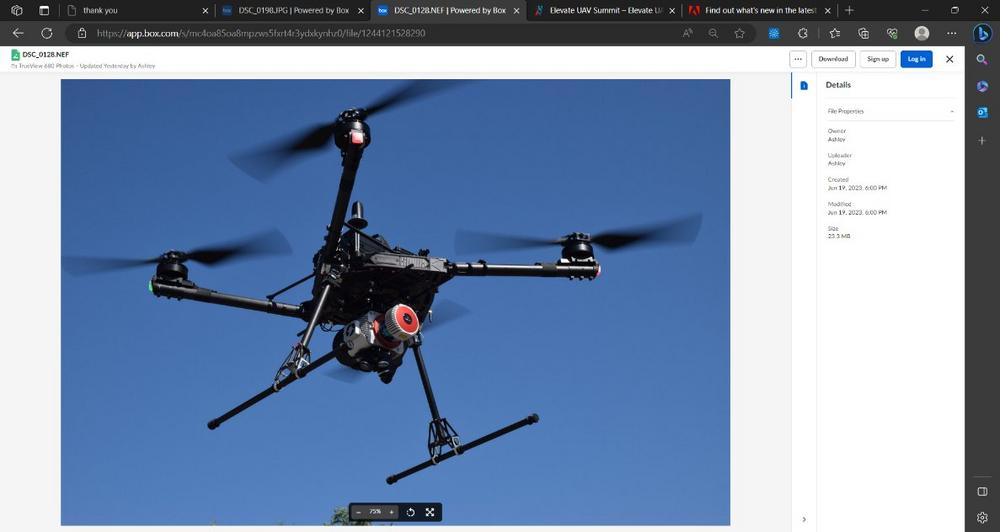
According to Frank Darmayan CEO of GeoCue “Every meeting, event and call we had, it seemed customers were telling us that they wanted to purchase one LiDAR system that could also work for both aerial and mobile ground projects. They wanted easy to use software to process and visualize data. Our team stepped up to the challenge to provide unique, dual purpose Drone and Mobile Mapping LiDAR systems, with our entire TrueView 600 series, as well as the TrueView 535.”
Darmayan added, “Whether a project requires an aerial perspective, a ground mobile perspective, or both, the TrueView 680 and 680LR provide the complete package. Both systems integrate Riegl LiDAR technology, with a field of view up to 360° for practically unrestricted data acquisition. By land or air, these systems provide unparalleled accuracy and precision.”
As part of the mobile mapping integration, the mobile mounting kit provides an enclosed system that protects the sensor from dust and debris. The system can also be configured with an optional Ladybug 360-degree camera and a Distant Measurement Instrument (DMI-wheel specific) that helps keep the trajectory accurate when GNSS is disturbed.
In addition to the TrueView 680, an optional upgrade is also available for the TrueView 655/660 and the TrueView 535 to enable dual purpose aerial and mobile mapping LiDAR.
Vivien Heriard-Dubreuil, CEO of GeoCue parent company mdGroup explained “We are continuously aligning our products with customer needs. In addition to this newly released mobile mapping capability we are also pleased to announce the release of the new TrueView 625. This system is based on the Riegl mini-VUX 1, and similar to our TrueView 655/660 it includes triple cameras… all this while hitting a sweet spot on price and performance. It’s already getting quite a bit of attention from our customers, who say it fills an important niche. Best of all, all TrueView 600-series payloads are NDAA-compliant.”
Vincent Legrand, VP of Sales said, “We offer turnkey solutions for our customers and dealers. Our expertise in hardware integration, software, workflow, training, and support from one company is a unique advantage that we can offer, and we’re excited about the growth that comes with that.”
GeoCue and Microdrones have joined together to bring geospatial experts the very best in drone surveying equipment, geospatial software, workflow, training and support for high accuracy LiDAR and drone mapping to help civil engineering and surveying professionals achieve successful data collection, processing, and management.
With TrueView drone LiDAR/Imaging sensors, LP360 point cloud data processing software, and fully integrated systems from Microdrones, we are the leader in LiDAR mapping processing in North America able to meet customers where they are in terms of technology adoption, budget, and resources.
To learn more about GeoCue, visit www.geocue.com.
To learn more about Microdrones, visit www.microdrones.com.
GeoCue Group Inc.
520 6th Street
USA35756 Madison, Alabama
Telefon: +1 (256) 461-8289
Telefax: +1 (256) 461-8249
https://www.geocue.com
Marketing-Direktor
E-Mail: bret.burghdurf@group-md.com
![]()

